TerraTech
ATLAS VR is a unique virtual reality technology that uses satellite imagery to create digital copies of real-life objects and terrain. Using this technology, we are able to recreate accurate twins of infrastructure, investment projects, landmarks and historical places. With the possibilities of VR we are able to reach a great deal of immersion when interacting with objects in a recreated real-like environment
ATLAS VR

Geocentric coordinate system;
Celestial bodies;
Accurate atmospheric
and environment modeling
Celestial bodies;
Accurate atmospheric
and environment modeling
Open data OSM;
Streaming data;
Cartographic vectors.
Streaming data;
Cartographic vectors.
Automated imagery upload;
Attributes generation;
Recreation of terrain,
vegetation, objects.
Attributes generation;
Recreation of terrain,
vegetation, objects.
Proprietary Zarnitsa-VR engine;
Cross-platform compatibility;
Runs on any OS and platform;
Customizable modules.
Cross-platform compatibility;
Runs on any OS and platform;
Customizable modules.
Stereo mode capturing;
Resolution resampling;
Orthorectification;
Georeferencing;
Atmospherics;
Shadows, snow, etc.
Resolution resampling;
Orthorectification;
Georeferencing;
Atmospherics;
Shadows, snow, etc.


ERS data supply
Elevation maps
3D modeling
Other data sets
Mapping and VR
Virtual environment is being recreated using space and unmanned aerial vehicles data, which enables the use of reliable digital elevation model
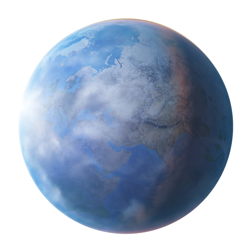
Digital twin of the earth
Virtual reality technology is becoming key in education and corporate training, industrial design and construction, healthcare, mass consumer services and entertainment
Features
Integrated data
Cloud service
VR 360
0
Geo-powerpoint
Security
Immersive analytics
Education
VR-lessons about geography, ecology, biology, history, astronomy, computer science, economics; career guidance
Tourism, culture, art
Development of interactive virtual trips and tours to increase tourist attraction and potential of the region
Ecology and emergency
Visual representation of aftermaths, man-made impact on nature, various scenarios of disaster developments and ways to manage them
Business 3D GIS
Turn-key ready corporate 3D geoinformation system, VR-lab or VR-platform
Exhibitions
Show visitors prerecorded or fully interactive scenarios of urban developments, construction planning, environmental design and much more
Presentation
Give interactive multimedia VR presentations of projects to immerse your audience
You can watch the video in 360-degree
Let's stay in touch
Give us a call
+7 495 745-59-57
Mail us
info@terratech.ru
