TerraTech

Solutions
Tasked to create new digital solutions we at JSC TERRA TECH have embraced modern "from image to analytics" approach and built a universal platform capable of satisfying the needs of all our consumers on a daily basis
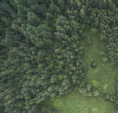
Forestry
Terra Tech implements a comprehensive monitoring of forest resources and provides systematic assessment of forest change dynamics
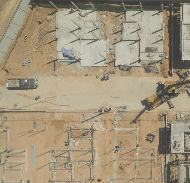
Construction
GIS services allow to assess business activity of construction companies using ERS data. This assessment provides informational support to insurance, lending and financial institutions and companies involved in construction of large scale complex facilities or owning segmented assets
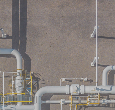
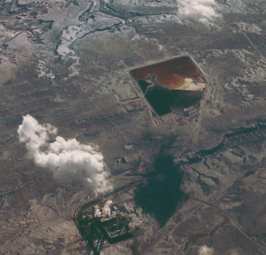
Oil and gas
Industries involved in extraction, transportation and storage of energy commodities benefit from ERS services and applications in a number of ways. These services are aimed to provide companies with impartial, systematic, near real-time information
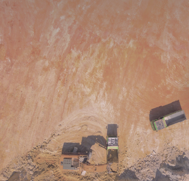
Mining
Space monitoring is used in multiple ways during geological surveys, when those take place on vast territories with poor accessibility, as well as in the course of widespread mineral deposits opencast mining
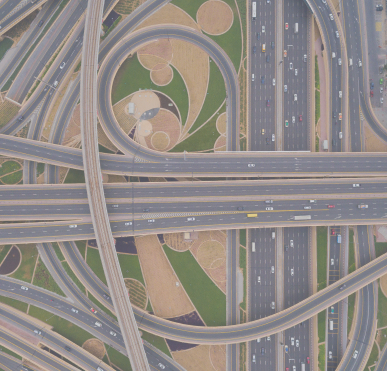
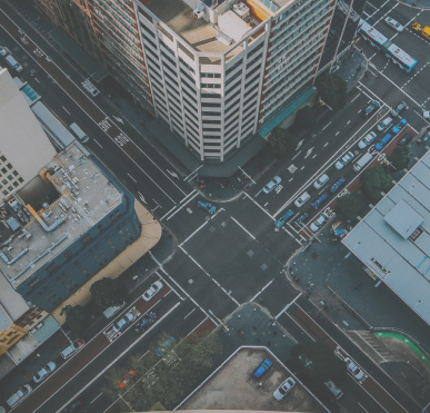
Road
infrastructure
infrastructure
Space technologies applied by JSC TERRA TECH are used in complex monitoring during construction and reconstruction of highways, motorways, port infrastructure facilities, motorway accesses, railway lines, roundabouts in cities and interchanges, bridges, airport facilities, hydro-electrical units and channels
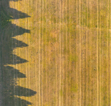
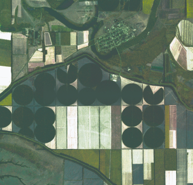
Agriculture
ERS data allows to perform an integrated operational monitoring in an agricultural sector, assess structure and composition of sown areas, analyze efficiency of land use and forecast crop yield
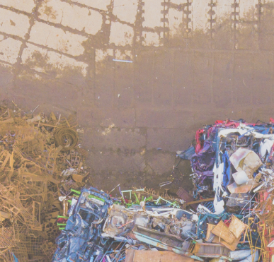
Waste
landfills
landfills
Remote sensing data helps us provide geoinformation solutions aimed at streamlining waste management
Ecology
ERS data and digital services are widely used to detect and solve environmental problems and are included in the national «Ecology» project
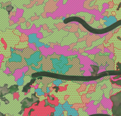
Global
changes
changes
Current technologies of automated satellite imagery processing allow TERRA TECH to create a global information product aimed at rapid detection of changes occurring in the country and worldwide based on massive archive of imagery accumulated in recent decades
Insurance
Modern geoinformation solutions provide insurance companies with analytical information which help to reduce risks and optimize rates for insurance objects
Artificial
intelligence
intelligence
JSC TERRA TECH develops algorithms for automated recognition of various objects (buildings and structures, pits, logged lands, burnt areas, dumps and others) with the use of high- and ultra-high-resolution satellite images and employs latest IT advancements and technologies

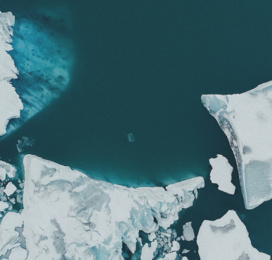
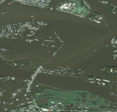
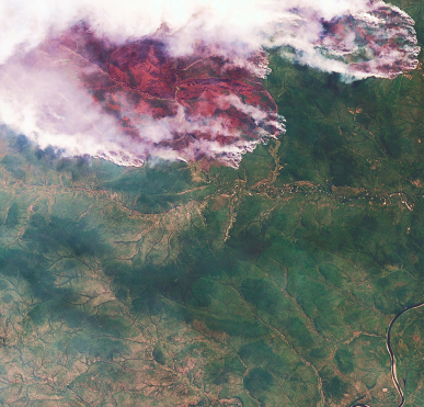
Emergencies
Satellite imagery provides clear overview of natural and man-made disasters occurring both on land and water surface. Most common applications are tied to monitoring fires in remote locations, floods and pollution
Investment
New prospects in land use and resource management are traditionally fueled by financial data. Adding spatial data into the mix enables next level planning based on actual positioning, qualities and conditions of the area in question
Land assets
Land management is one of the most crucial tasks that can be effectively solved using satellite imagery. Acquired data helps identify changes in land use, detect new households, better plan land development
Critical infrastructure
Remote sensing is widely used to monitor condition and development of strategic projects and important infrastructure. Imagery helps to early identify possible issues as well as improves planning and oversight
Let's stay in touch
Give us a call
+7 495 745-59-57
Mail us
info@terratech.ru
Moscow, Russia